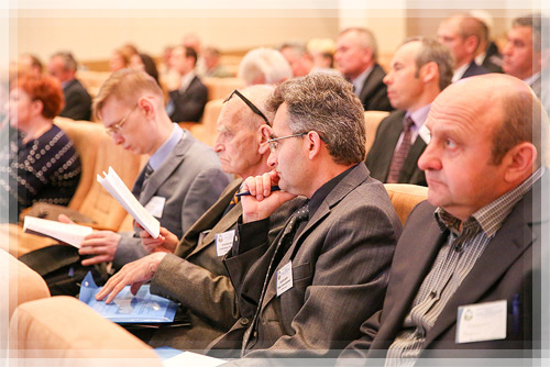
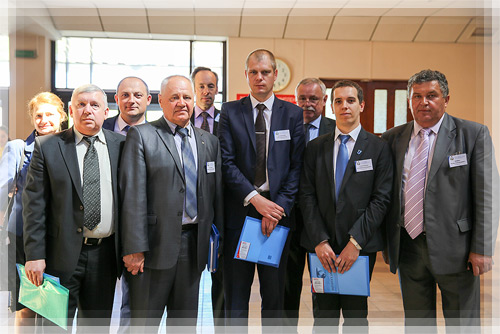
On June, 9-10 the International research and technical conference «Geodesy, cartography, cadastre, GIS – problems and perspectives of the development» took place at Polotsk State University. The event was organized by the head of the Department of Geodesy and Cartography, candidate of Technical sciences, an associate professor Galina A. Sharoglazova.
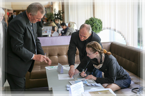
This conference has a great meaning for Polotsk State University because scientific and technical questions of the development of cartographic and geodesic field at the current stage are very relevant. The specialists of our university annually contribute to the development of this direction and also make a joint work with Belarusian and foreign partners.
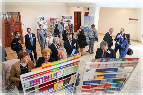
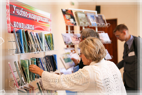
This year the geography of the conference gathered several countries such as Latvia, Russia and Ukraine.
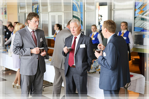
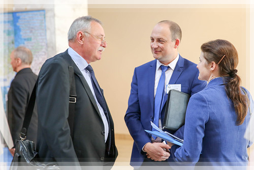
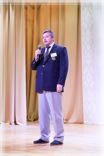
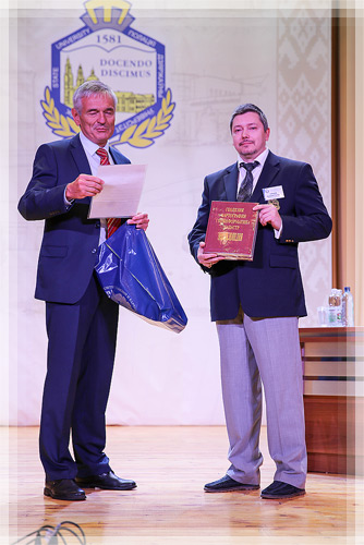
The plenary session was opened by Dmitry O. Glukhov, Pro-rector of Research Work. In the welcoming speech he pointed out that modern development of geodesy science at the current stage transformed into high-technology field, and nowadays rapid increase of research achievements in this field requires the communication between scientists and the discussion of important questions. According to this the meaning and importance of the event are great not only for Polotsk State University but also for other scientific organizations which deal with geodesy and cartography questions. Dmitry Olegovich thanked all the participants of the event and wished them interesting and profitable work.
The next day, June, 10 the conference work was continued within five sections:
1. Geodesy, gravimetry and geodynamics.
2. Geoinformation systems and technologies. Remote sensing.
3. Cartography and digital map-making.
4. Land boundary survey and cadastre of real property. Natural resource monitoring and environment control.
5. Design and construction.
The reports were devoted to different problems in the field of geodesy and cartography:
- Geodesic gravimetry at the current period of time;
- coordinate and height systems in modern realizations;
- geodynamic researches with the use of geodesy methods;
- specialists’ preparation in geodesy, cartography, GIS;
- creation of geodesy services with the use of web-services and geodesy data bank;
- remote sensing data, the experience of using;
- digital maps as an important information resource;
- and others.
