In late June - early July 2018 the Department of Geodesy and Geoinformation Systems (GIS) at Polotsk State University held the defence of a diploma thesis for a bachelor’s degree in the specialties of “Geodesy” and “Geography (GIS)”, the master's thesis defence and the investiture ceremony.
Highly qualified specialists in topographic and geodetic production from different Belarusian enterprises like RUE “Belgeodesy”, UE “Geoinformation Systems” National Academy of Sciences of Belarus and others were in the State Examination Board for both specialties.
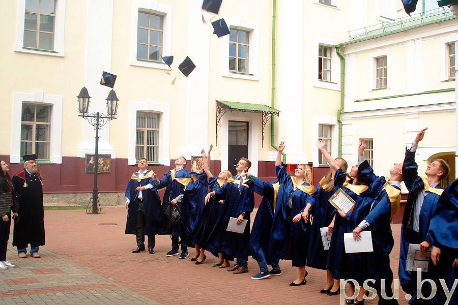
The themes of the students’ diplomas were connected with the current trends of the government: carrying out a topographic survey with the help of unmanned aerial vehicles, application of satellite technologies in topographic and geodetic production, electronic tachometers of various kinds, including robotic ones, while ensuring the construction of the most complex engineering structures: aerodromes, nuclear power plants, bridges, etc. International students from Turkmenistan developed the theme “Geodetic support of the countries of the post-Soviet territory», a difficult but very relevant one.
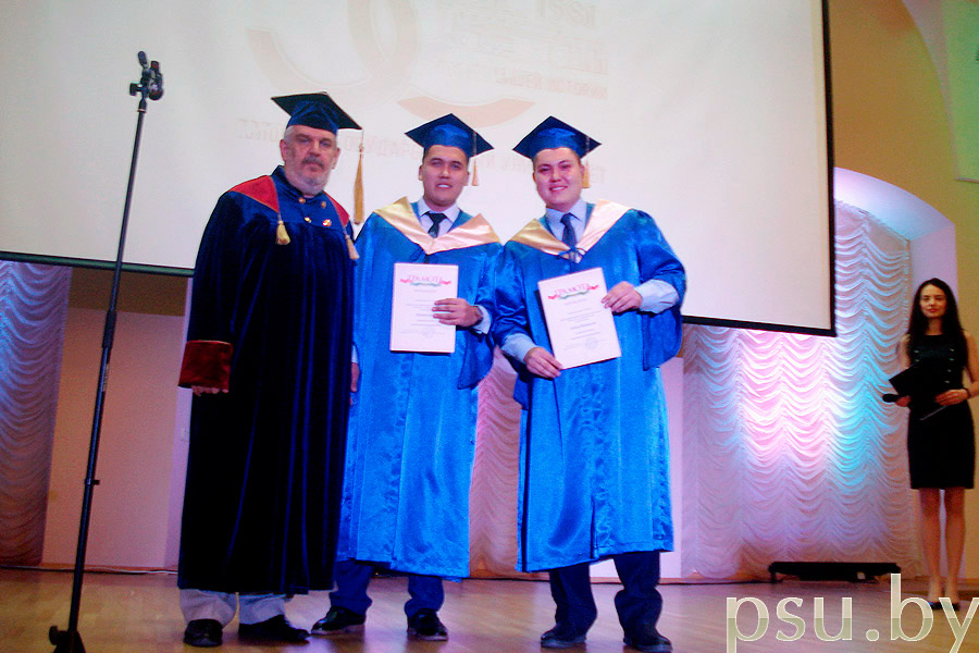
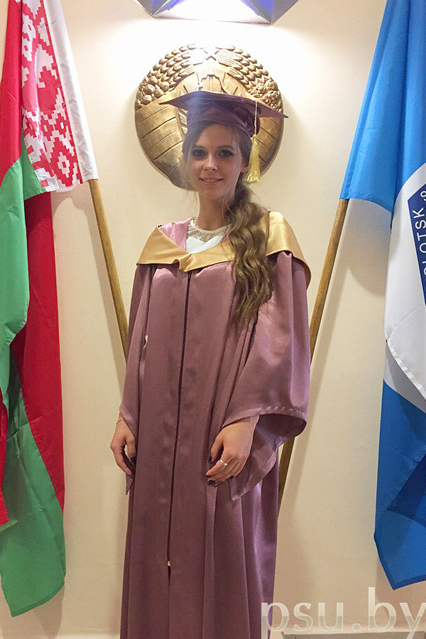

GIS students demonstrated full readiness to create an electronic country, introducing GIS systems into building and construction (BIM technologies), topographic and geodetic production (GIS in geodesy), science (GIS in geodynamics and ecology), tourism, forestry, MES, mineral extraction, education, etc. A lot of works by both geodesy and geography (GIS) students were recommended for application.
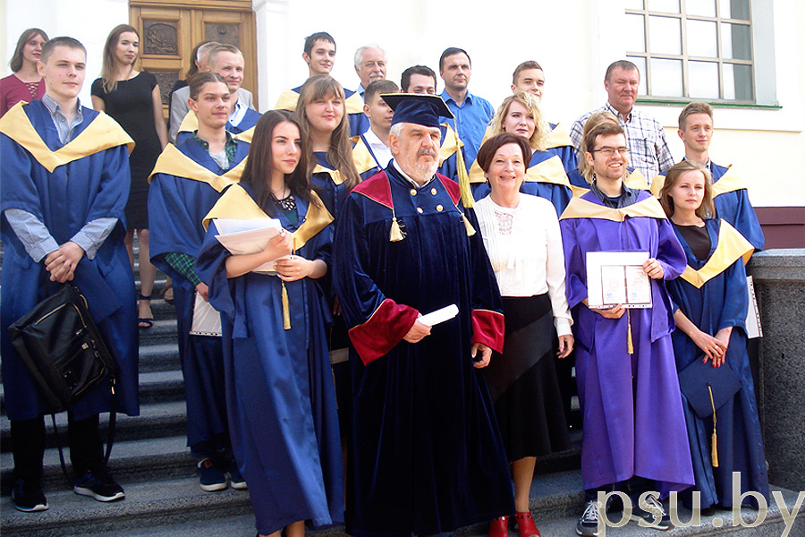
Six people from the graduates have already passed the master's degree examination successfully in the specialty «Mining and gas and oil producing geology, geophysics, mine surveying, subsoil geometry, geodesy»
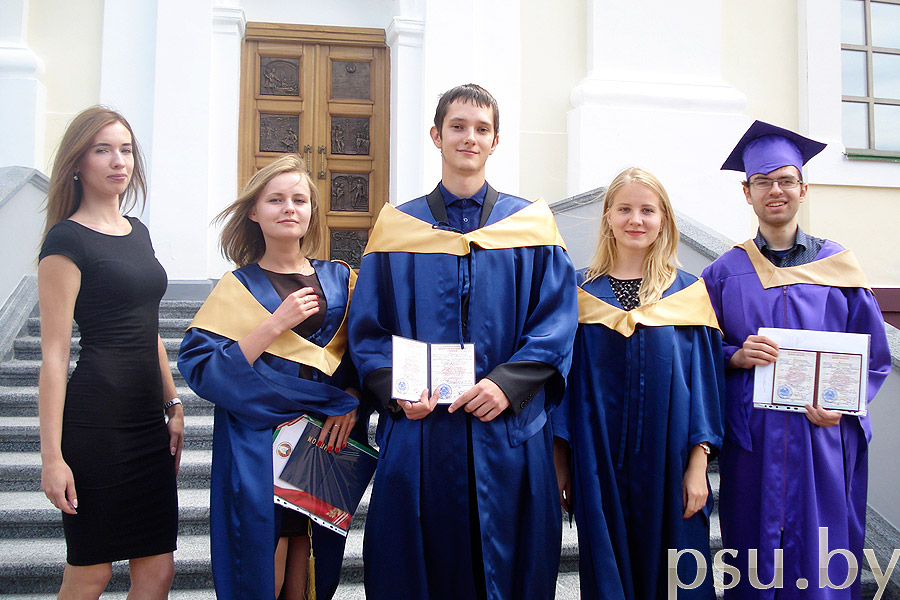
Nowadays, graduates specializing in “Geodesy” and “Geography (GIS)” are in extreme demand in the national economy of the Republic of Belarus. The students were distributed to the largest geodetic, land management, cadastral, construction organizations of the country, such as:
- RUE “Belgeodesy”;
- “Belavtodor” holding;
- UE “Geoservice”;
- RUE “Belarusian NPP”;
- RUE “Project Institute Belgiprozem”;
- National cadastre agency and others;
We are glad that our graduates have received demanded professions and serve as a good example for senior students, who are now preocupied with the choice of their future profession.
And we advise those people who have an inquisitive mind, aptitude for mathematics, programming, astronomy, satellite and computer technologies, to enroll in the specialty «Geodesy» at Polotsk State University. Here you will receive not only an extremely interesting and high-paid profession, but also you will be able to realize your potential in creativity, science and sports, as the university has all the conditions for that. You will have a wonderful time during the practical training on the shore of Lake Chernoye, will acquire the skills to operate the latest devices and you will find new friends and longstanding memories about your university years!
Welcome to the fascinating world of geodesy!
G. A. Sharoglazova, the head of the Department of Geodesy and Geoinformation systems