Geodesy
Qualification given: Bachelor / Geodesist
Faculty: Faculty of Information Technologies
Department: Department of Geodesy and Geoinformation Systems
Study period: full-time – 4 years
Today, geodesists are especially in demand in the labor market. A modern geodesist is a specialist in the field of construction, navigation, satellite technologies, digital cartography and geographic information systems.
Only with the participation of geodesists it is possible to build unique engineering structures (nuclear power plants, bridges, tunnels, subways, residential and industrial complexes). The position of a geodesist is also present in land management, cadastral organizations, mining enterprises, design institutes and organizations involved in the preparation of topographic plans, maps and navigation systems for the agricultural, forestry and even military and aerospace industries.
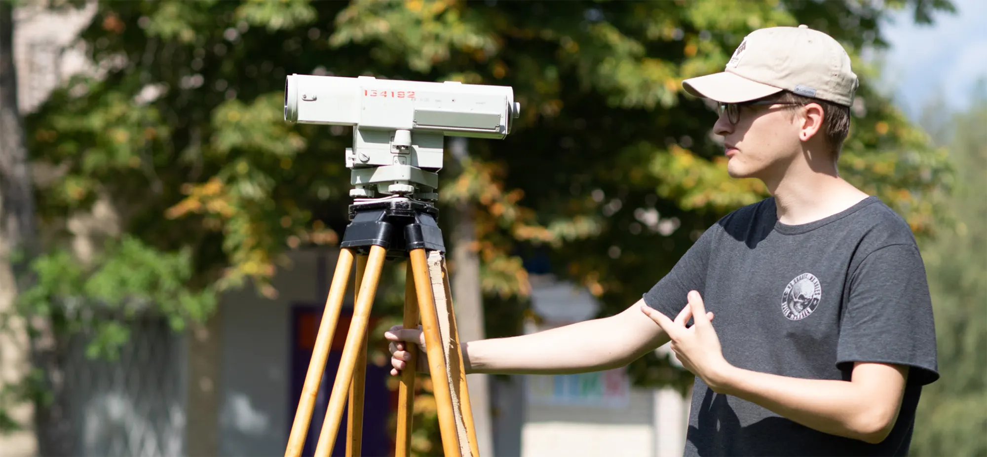
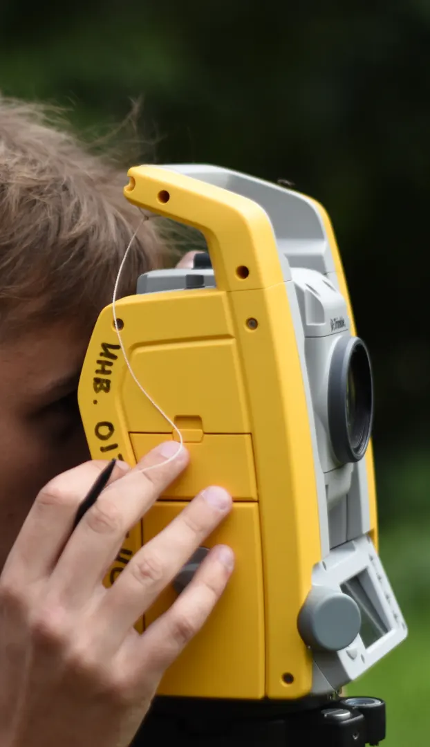
Modern geodesy is inextricably connected with information technology. All the latest geodetic instruments are electronic, and allow to receive and store the results of field measurements in digital form.
Geodesy is considered a prestigious, rare, responsible and respected profession, so the work of a geodesist is paid accordingly. And, of course, competent specialists for companies are just worth their weight in gold.
Skills and competencies
- Knowledge of exact and natural sciences: mathematics, physics, geography, geology, astronomy
- Knowledge of cartography and geodesy, various methods of surveying the area
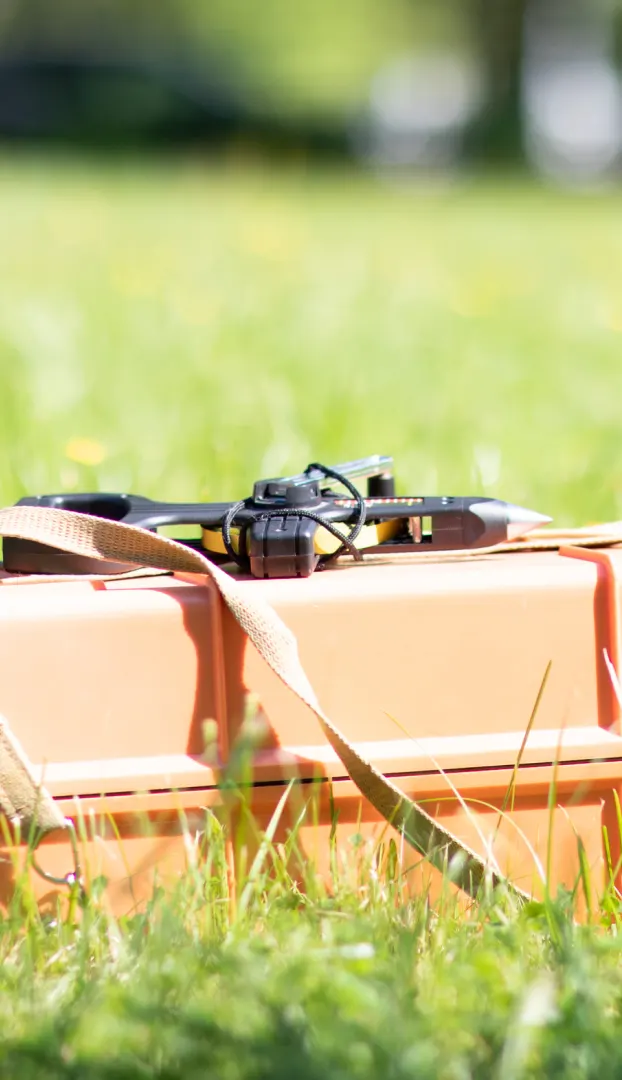
- Use of engineering-geodetic and photogrammetric equipment, unmanned aerial vehicles
- Ability to work with design and estimate documentation, technical drawings and diagrams. Knowledge of normative legal acts in the field of geodesy, engineering and geodetic surveys, construction, land management and cadastre
- Mastery of software for processing geospatial information. Processing of remote sensing materials
- Territory mapping and construction of digital three-dimensional terrain models
- Knowledge of high-level programming languages (Python, VBA)
Graduate destinations
- Subordinate organizations of the State Committee on Property of the Republic of Belarus: Republican unitary enterprise Belgeodesia, Republican unitary enterprise BelPSHAGI, Republican Design Institute for Land Management Belgiprozem, Republican unitary enterprise Belkartografiya, Scientific and Production State Republican Unitary Enterprise National Cadastral Agency.
- The leading geodetic organization of the country Republican unitary enterprise Geoservice.
- Construction organizations: Joint Stock Company Minskpromstroy, Joint Stock Company Stroytrest 35 Minsk, Joint Stock Company Dorstroymontazhtrest, Joint Stock Company Grodnozhilstroy, Limited liability company Triple, Limited liability company Belbud.
- Project organizations: Belgiprovodhoz, Gomelgiprozem, Vitsebskgrazhdanproekt, Gomelvodproekt, Polesiegiprovodhoz, Vitsebsklesproekt.
- Capital construction management and land management services of regional, district and city executive bodies.
- Educational institutions: Belarusian State University, Belarusian National Technical University, Euphrosyne Polotskaya State University of Polotsk, Borisov State Polytechnic College.
- Enterprises for the search and extraction of minerals, precision agriculture and forestry.
Professional activity
- Topographical survey
- Cadastral and land management works
- Construction support at all stages, geodetic control of construction and installation works
- Creating a geodetic basis
- Preparation of relevant sections of construction, geological exploration and other works projects
- Verification, adjustment and repair of geodetic equipment
- Processing and visualization of geospatial information, construction of digital terrain models
Technologies of education
- Team training brings students of the specialty closer to real working conditions in production, gives the opportunity to interact in a team and develops flexible skills (responsibility, communication, leadership). During the training practices, each member of the brigade performs its functions to achieve a common goal.
- The project method allows students-geodesists to develop critical thinking, consider and solve a problem on a specific practical example.
- The case method motivates to a creative approach in solving problems arising in engineering and geodetic production.
- Interactive methods enable students to take the initiative, get out of their comfort zone and teach each other.
- Business games are useful in mastering negotiation skills, understanding the processes at the enterprises of the geodetic industry, adapting to a rapidly changing world.
- Interdisciplinary diploma projects give students the opportunity to actualize their knowledge and skills in different areas (IT, economics, law, construction).
- The Portfolio method allows to create a collection of each student's works, developing independence, self-esteem and motivation; evaluate the importance as a specialist in the labor market.
Do you have any questions?
Email: