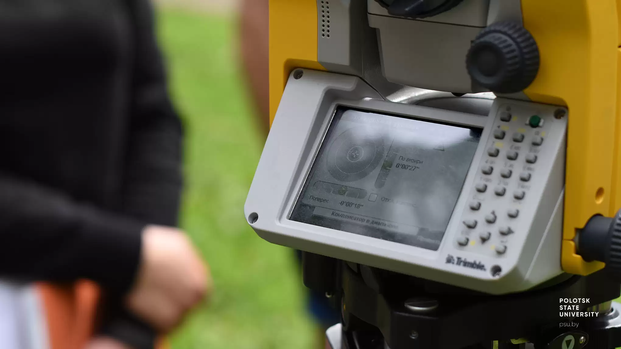
Department of Geodesy and Geoinformation Systems
PROGRAMMES
Bachelor
- 6-05-0731-01 Geodesy
Master
- 7-06-0731-01 Geodesy
Postgraduate
- 25.02.11 Geodesy
Continuing professional development
- Engineering-geodesy surveying and geodesy assurance of constructing various complexity objects
- Modern technology in topography, geodesy, and agricultural regulation production
- Engineering and geological surveys for construction
- Geodesy methods application for construction and line plants exploitation
- Geodesy methods application for construction and engineering plants exploitation
- Electronic devices application for engineering, geodesy surveys, and construction
- Geodesy methods of geometric parameters characterization for oil tanks
- Geodesy assurance of construction and industrial objects exploitation
Retraining
- 1-56 02 71 Applied Geodesy and Geodetic Supply of Cadastre
RESEARCH ACTIVITIES
Research fields
- Mastering geodesy methods of geodynamic processes monitoring engaging global Earth models and ensuring a multidisciplinary approach
- Mathematical processing of the results of geodesy measurements
- Modeling the development deformation processes of nature and engineering objects based on geospatial data represented in GIS environment
- Remote sensing data processing optimisation in various software
- Geodesy and geoinformational support of normalisation administrative intra-state demarcation
- Research of the methods of linear transformations on the plane for solving geodesy issues
Students' research communities
- Research of geodynamic processes by geodesy methods
- Mathematical processing of the results of geodesy measurements
- Aerial surveying and remote ground sensing data processing
- Environmental protection and ecology
- GIS-Technology and 3D modeling of dimensional objects
Seminars, conferences, exhibitions (held by the department)
- International Scientific and Engineering Conference "Geodesy, Cartography, Cadastre, GIS – issues and development prospects"
- International Scientific and Practical Conference "Modern Agricultural Regulation Science: the Present and the Prospects of Development" Bila Tserkva National Agrarian University, Ukraine, as a member of the organising committee
- Conjoint Online-Conference with Dmytro Motornyi Tavria State Agrotechnological University (Ukraine) "The State and Prospects of Geodesy and Agricultural Regulation Development"
BRANCHES
- State Enterprise “Belgeodesy”
- Municipal Educational Institution "Novopolotsk Secondary school No. 4"
international partners
- Bila Tserkva National Agrarian University (Bila Tserkva, Ukraine)
- Moscow State University of Geodesy and Cartography (Moscow, Russian Federation)
- Dmytro Motornyi Tavria State Agrotechnological University (Melitopol, Ukraine)
- Perm State University (Perm, Russian Federation)
- Saint-Petersburg Mining University (Saint-Petersburg, Russian Federation)
- Vilnius Gediminas Technical University (Vilnius, Lithuania)
