Geodesy

Specialisation: Geodesy
Academic degree: MSc in Engineering
Study period: full-time – 1 year, part-time – 1 year, 6 months
Academic degree: MSc in Engineering
Study period: full-time – 1 year, part-time – 1 year, 6 months
The program is designed to train specialists for a variety of activities in the field of the land management with the use of geographical information systems (GIS). Graduates have an opportunity to build a career in the scientific research, engineering, managerial or teaching sphere.
Students study geological and mining conditions for the development of deposits of solid, liquid and gaseous mineral resources along with issues of modeling, design of geotechnologies and development of the potential of the subsurface resources. The curriculum also involves considering scientific issues of exploration geophysics, mine surveying and subsoil geometry.

You will learn to
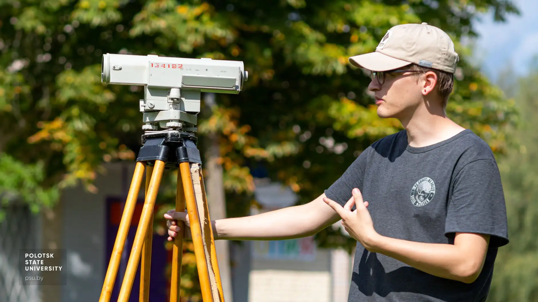
- apply modern methods in the development and implementation of topographic-geodesic and engineering-geodesic projects
- execute specialized engineering-geodesic works in the process of surveying, design, construction and operation of engineering facilities
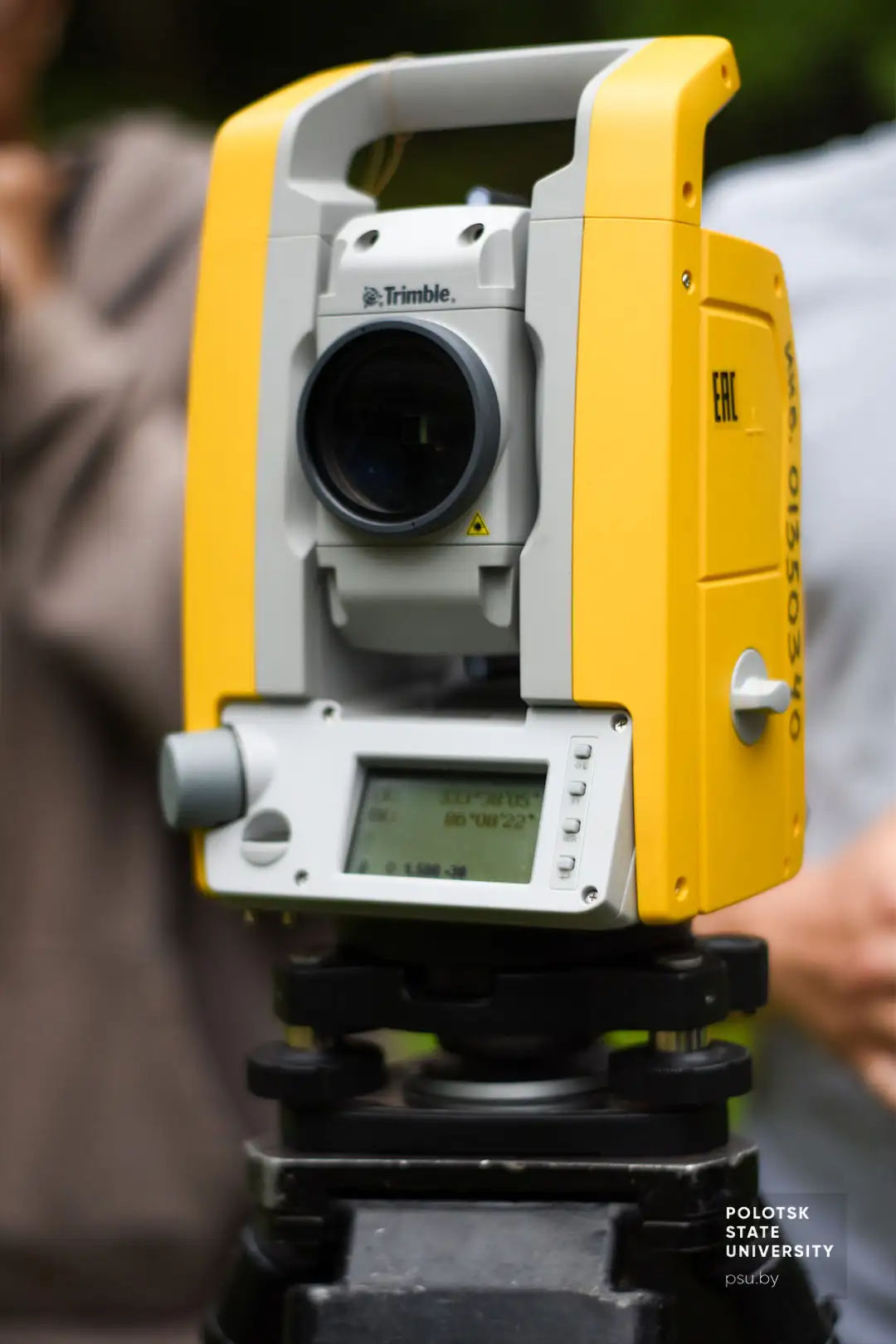
- take high-precision geodetic measurements including those with the use of satellite positioning systems
- get and process engineering and geodetic information on engineering structures and their elements to ensure compliance with structure geometry during its construction and operation
- apply modern methods of geodetic observations of horizontal and vertical ground movements
- prepare and give classes, supervise students’ research work, provide educational and methodological support
You can work at
- educational institutions of all types
- land management bodies
- mapping and surveying institutions
- design and survey institutions
- correspondent departments and services of Ministries specializing in topographic and surveying works, mapping and land surveying
Majors
- Pedagogy and Psychology of Higher School
- Modern Systems of Position Determination
- Computer Technologies of Land-surveying Data Analysis
- Alternative Methods of Land-survey Data Mathematical Treatment
- Automated Systems of Mapping and Surveying Support of GIS
- Remote Sensing Data Analysis